Beinn Alligin
Torridon, an incredibly raw area of Scotland. I had only seen images online of this place on the West coast of the country.
Some of my mates and I had booked a day to go to Torridon for some hiking, initially we agreed on Liathach, but after folk looked into how treacherous it could be, we decided on something a little easier; Beinn Alligin. We stayed in Inverness the night before, headed to Torridon about 07:30. Got to the Beinn Alligin car park about 9am, met up with the other car of guys and off we went.
“I’m climbing that?” I though as I looked up to Sgurr Mhor, the highest of the two munros of Beinn Alligin. Had to conquer Tom Na Gruagaich first.
Starting from the car park near Torridon village, the path to Beinn Alligin is well-walked but not easy. The initial stretch is a gentle incline, allowing us to warm up our legs. As you ascend, the path becomes steeper and more rugged, getting that heart ticking.
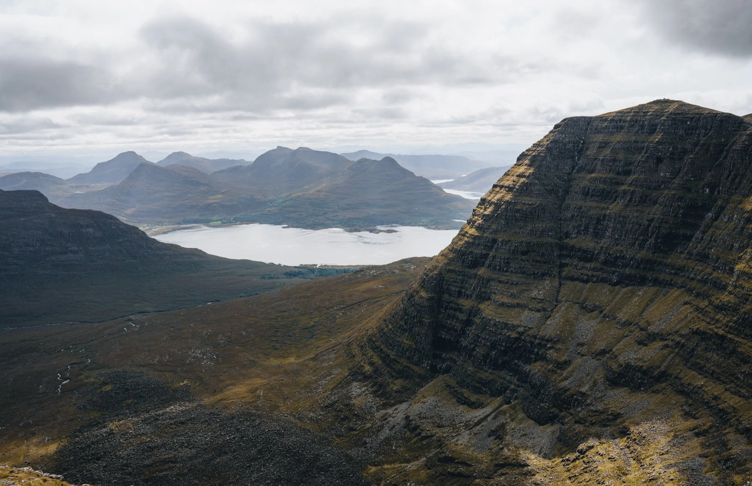
However, the effort we put in was well worth it. As we climb higher, the views begin to unfold. To the south, the shimmering waters of Loch Torridon come into view. Looking to the East we could see the imposing Liathach ridge. To the north, the vast expanse of the Highlands stretches out. With such a clear day we could see over to Skye, even just making out the Old Man of Storr. The Isle of Harris was just in view as well.
Beinn Alligin boasts two main summits: Tom na Gruagaich (922m) and Sgurr Mhòr (986m). The views you experience when reaching Tom na Gruagaich, the southernmost peak, are extremely rewarding. The summit offers a 360-degree panorama of the surrounding landscape, and the phenomenal sight of Sgurr Mhòr.
From Tom na Gruagaich, a ridge walk led us to the higher peak of Sgurr Mhòr.
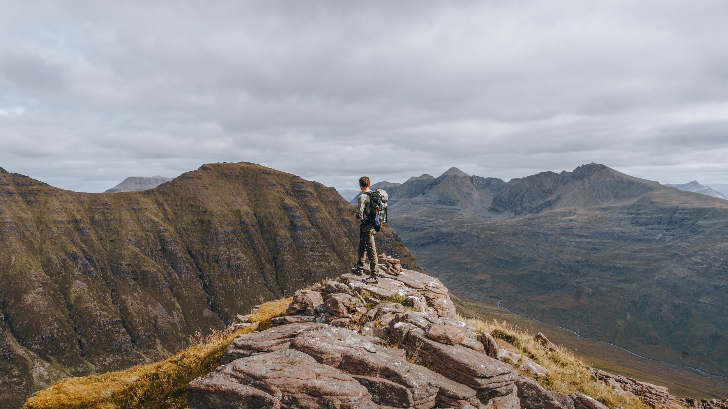
Upon reaching Sgurr Mhòr, we had the highest vantage point on Beinn Alligin. From here, the entire Torridon range is visible, with the prominent peaks of Liathach, Beinn Eighe, and Beinn Dearg in the horizon.
Following a brief stop at the peak, it was time to start the descent, with only the ‘Horns of Alligin’ in our way. This section is perhaps the most iconic part of the climb. The ridge is narrow and exposed, with three distinct "horns" that require some hands-on scrambling. I have to be honest, the scrambling was a little nerve wracking but when it was complete, it felt like fun!
The path down from the ‘Horns of Alligin’ is steep and requires good navigation. As we made our way down, the terrain changed from scree to boulders, to grass and back again. Tough on the feet and knees for me, I only have inexperience to blame!
During the final walk to the car park, we were alongside the Abhainn Coire Mhic Nobuil, a river that winds its way down the valley. At that point, with the sun beating down on us, all I could think about i how good a dip there would be. But, we had to keep focused to finish this stunning walk and most importantly, get a few pints in Inverness. Cheers!


